Street-Level Radon Risk: Pinpointing Nevada's Most Vulnerable Neighborhoods Before the Gas Finds You
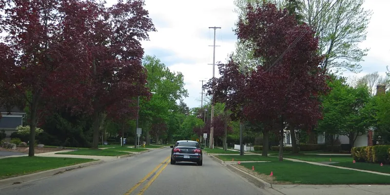
Photo: Ken Lund from Reno, Nevada, USA, CC BY-SA 2.0, via Wikimedia Commons
Most homeowners who research radon in Nevada begin with county-level EPA risk maps. Those maps are a reasonable starting point, but they can be dangerously misleading. A homeowner in a "moderate risk" county may live on a block where uranium-rich granite sits just beneath the surface. A homeowner in a "low risk" county may occupy a tightly sealed basement home with virtually no air exchange. The county designation tells you nothing about either of those realities.
The truth is that radon behaves locally — sometimes hyper-locally. Understanding which Nevada neighborhoods and subdivisions carry elevated risk requires looking well beyond the broad strokes of state and county data.
Why County-Level Data Falls Short
The EPA's radon zone classifications divide the United States into three tiers based on predicted average indoor radon levels. Nevada contains counties spread across all three zones, with the northern and central regions of the state — including parts of Washoe, Elko, Lander, and Nye counties — historically registering higher average concentrations. Clark County in the south tends to fall into lower-risk classifications.
But here is the critical limitation: these zones reflect statistical averages drawn from limited sampling data. A county designated Zone 2 (moderate predicted average) can contain individual neighborhoods where measured radon levels consistently exceed 4 picocuries per liter (pCi/L), the EPA's action threshold. Conversely, homes in Zone 1 counties sometimes test well below that threshold because of favorable soil permeability, newer construction techniques, or natural ventilation patterns.
Relying solely on county designations to assess your personal risk is, in practical terms, an incomplete approach.
The Geological Fingerprint Beneath Nevada's Neighborhoods
Nevada's geological diversity is a major driver of its uneven radon distribution. The state sits atop some of the most geologically complex terrain in North America, and that complexity translates directly into radon variability at the neighborhood level.
Northern Nevada and the Basin and Range Province: Reno, Sparks, and the surrounding communities in Washoe County are underlain by volcanic and granitic rock formations with elevated uranium content. Neighborhoods built on or near these formations — particularly those on hillside lots or in older subdivisions where crawl spaces and block foundations are common — tend to show higher radon readings. Areas such as the older residential corridors of northwest Reno, certain hillside communities above the Truckee Meadows, and subdivisions built along the Virginia Range foothills have documented histories of elevated indoor radon.
Central Nevada's Mining Legacy: Towns like Ely, Winnemucca, and Battle Mountain sit in regions with long histories of uranium and mineral extraction. The disturbed soils surrounding historic mining zones can release radon more readily than undisturbed terrain. Homeowners in subdivisions adjacent to former mining operations should treat their properties as presumptively high-risk until testing confirms otherwise.
The Lahontan Basin and Ancient Lakebed Soils: Portions of Churchill, Lyon, and Douglas counties rest on sedimentary soils deposited by ancient Lake Lahontan. These soils vary significantly in permeability — some act as barriers to radon migration, while others channel it efficiently toward foundations. Neighborhoods in Fernley, Fallon, and parts of the Carson Valley warrant careful attention, as soil conditions can shift meaningfully within a single subdivision.
Southern Nevada's Lower-Risk Profile — With Exceptions: Clark County and the Las Vegas Valley generally register lower radon levels, partly due to the region's sandy, well-drained alluvial soils and the prevalence of slab-on-grade construction. However, neighborhoods built in the foothills of the Spring Mountains or in areas with significant soil disturbance from grading activity can still produce elevated readings. Summerlin communities near Red Rock Canyon, for example, sit in closer proximity to geologically active terrain than the valley floor.
Construction Era as a Neighborhood-Level Risk Factor
Geology is not the only variable that creates hyperlocal radon disparities. The era in which a neighborhood was developed plays a substantial role.
Homes built before the 1990s were rarely constructed with radon-resistant features. Older subdivisions in Reno, Carson City, and Elko — areas that saw significant residential growth in the 1960s and 1970s — frequently feature poured concrete block foundations, unfinished crawl spaces, and minimal vapor barriers. These construction characteristics allow radon to migrate indoors with little resistance.
By contrast, many subdivisions developed after 2000 in Nevada were built under updated codes that encouraged or required passive radon-resistant construction, particularly in areas the EPA had flagged as elevated-risk. Newer master-planned communities in the Reno metro area and parts of Northern Nevada are more likely to include rough-in radon mitigation piping, though the presence of that infrastructure does not guarantee low radon levels without a functioning active system.
If your neighborhood was developed primarily between 1960 and 1990 and sits in a geologically active region of Nevada, the intersection of those two factors should prompt immediate testing.
How to Assess Your Specific Address
Hyperlocal risk assessment requires more than reading a map. Here is a structured approach for Nevada homeowners who want to move beyond county-level generalizations:
-
Consult the Nevada Division of Public and Behavioral Health (DPBH) radon data. The state has compiled indoor radon test results from thousands of Nevada homes. While individual addresses are not publicly disclosed, aggregated neighborhood and ZIP code data can reveal patterns that county maps obscure.
-
Request neighborhood testing history from your local health district. Washoe County and Clark County health districts have conducted community radon surveys at various points. Asking for historical data tied to your ZIP code or census tract can reveal whether your immediate area has a documented testing history.
-
Talk to neighbors who have tested. In many Nevada subdivisions, a handful of homeowners have already conducted radon tests. Their results — even if from a different floor plan or foundation type — provide useful baseline context.
-
Commission a long-term test. Short-term radon tests (48–96 hours) provide a useful snapshot, but a 90-day alpha track test accounts for seasonal variation and provides a more reliable average. For homes in geologically active zones, this longer measurement period is strongly recommended.
-
Consult a Nevada-licensed radon measurement professional. Certified professionals can assess your foundation type, soil conditions, and home pressurization dynamics in ways that a DIY kit cannot replicate.
What High-Risk Neighborhood Residents Should Do Now
If your neighborhood falls into one or more of the elevated-risk profiles described above — older construction, proximity to granitic or volcanic geology, adjacent to former mining activity, or located in northern or central Nevada — the appropriate response is straightforward: test your home without delay.
If testing reveals levels at or above 4 pCi/L, engage a Nevada-licensed radon mitigation contractor to evaluate and install a sub-slab depressurization system. For homes with crawl spaces, encapsulation combined with active ventilation is the standard approach. Post-mitigation testing confirms that the system is performing as intended.
Reassurance for Lower-Risk Zones
Homeowners in the Las Vegas Valley, in newer slab-on-grade subdivisions, or in areas with well-documented low testing histories are not exempt from the advice to test — but they can approach the process with somewhat less urgency. Radon levels below 2 pCi/L are common in these areas and represent a lower health burden. Retesting every two to five years, or following any significant renovation, remains a prudent practice regardless of neighborhood risk profile.
The Bottom Line
Nevada's radon risk does not distribute itself evenly across the state, and it certainly does not distribute itself evenly across a single county. Your street, your subdivision, your foundation type, and the geological history of the land beneath your home all contribute to a risk profile that no county map can fully capture. The only definitive answer is a test — and for many Nevada homeowners, that test is long overdue.